about us
TerraCognita is a system for farmers, land owners, cities and governments to better ultilize parcels of land they posses. The system uses data from the European Space Program system called Copernicus, which are refreshed every 6 days, and therefore can provide up-to-date image of our planet.
Our mission is to help ultilize available land and earth better; for the benefits of food consumers, citizens and our natural environment.
how it works

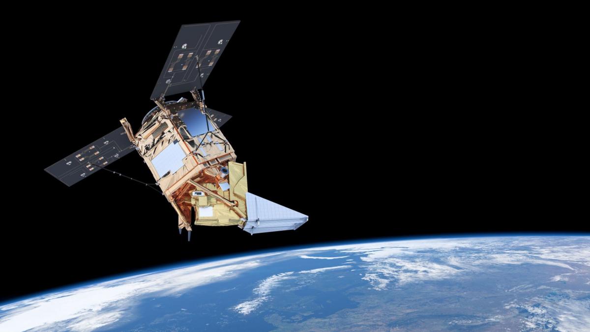
Satellite creates multispectral images
The satellite system Copernicus captures multispectral images and prepares raw data.

Neural network processes data into results
Our trained neural network processes multiple data layers, compares the past data and results, and outputs results that are XX% accurate.

Land owners get personalized reports
Land owners get presonalized reports every week. The summaries contain information about current and recommended usage of their soil.
`improve soil usage efficiency by 40%
The Team

CTO & Co-Founder

CEO & Co-Founder
We are currently looking for...
Our customers
- City of Bratislava.